Take a Virtual Flight Through Yosemite’s Fire Zone

This Google Earth tour shows you where the blaze is burning—and what’s at stake.

Al Golub/ZUMA


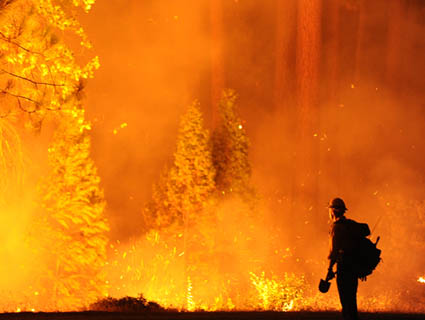
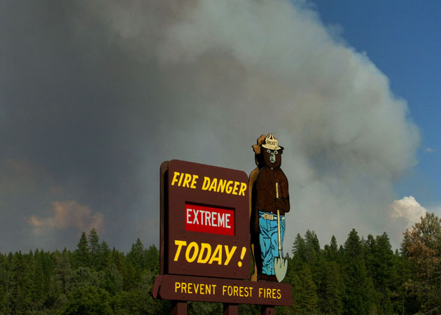
Several weeks ago, a fire started in California’s pristine and wild Stanislaus National Forest, about 150 miles east of San Francisco, close to Yosemite National Park. By August 19, the blaze, known as the Rim Fire, was doubling in size every day. On August 27, it was 180,000 acres, bigger than the city of Chicago. Some 3,700 firefighters have used 460 fire engines, 60 bulldozers, and 15 helicopters to try to control it. And it’s still growing.

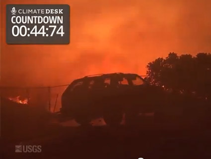
Watch the video above for a Google Earth bird’s-eye view of the areas that are threatened by the fire. Read more about what makes the Rim Fire an especially scary wildfire here.


More Mother Jones reporting on Climate Desk

Fact:

Mother Jones was founded as a nonprofit in 1976 because we knew corporations and billionaires wouldn't fund the type of hard-hitting journalism we set out to do.

Today, reader support makes up about two-thirds of our budget, allows us to dig deep on stories that matter, and lets us keep our reporting free for everyone. If you value what you get from Mother Jones, please join us with a tax-deductible donation today so we can keep on doing the type of journalism 2024 demands.

payment methods

Fact:

Today, reader support makes up about two-thirds of our budget, allows us to dig deep on stories that matter, and lets us keep our reporting free for everyone. If you value what you get from Mother Jones, please join us with a tax-deductible donation today so we can keep on doing the type of journalism 2024 demands.

payment methods

We Recommend

Latest

Sign up for our free newsletter

Subscribe to the Mother Jones Daily to have our top stories delivered directly to your inbox.

Get our award-winning magazine

Save big on a full year of investigations, ideas, and insights.

Subscribe

Support our journalism

Help Mother Jones' reporters dig deep with a tax-deductible donation.

Donate