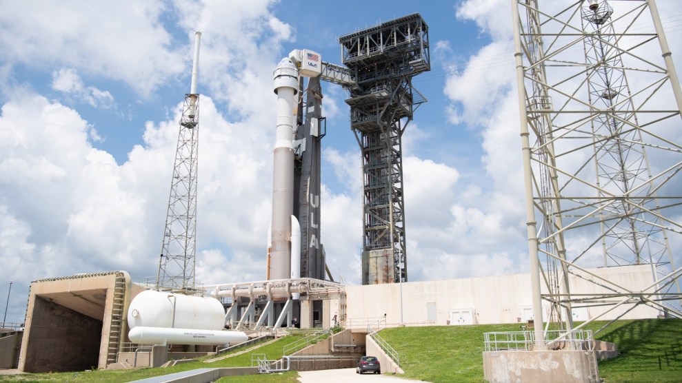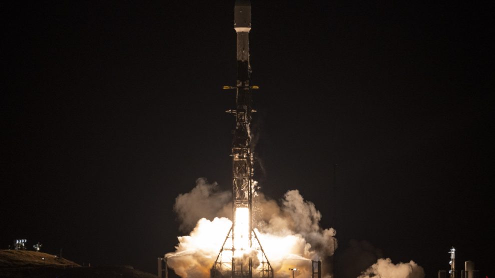
A SpaceX Falcon 9 rocket launched on Friday with the Surface Water and Ocean Topography (SWOT) spacecraft aboard.Keegan Barber/NASA
This story was originally published by Wired and is reproduced here as part of the Climate Desk collaboration.
Billions of people now live in rapidly changing coastal areas that must develop plans to adapt to a future that includes rising seas, crumbling cliffs, and devastating hurricanes. Now they’ll have help from a dedicated satellite scanning the world’s water.
Early Friday morning, NASA and its international partners plan to launch the Surface Water and Ocean Topography (SWOT) satellite from the Vandenberg Space Force Base in California. The joint mission, shared with the French, Canadian, and United Kingdom’s space agencies, will survey about 90 percent of the water on Earth—almost everything except the poles—using cloud-penetrating radar in order to create high-resolution maps of oceans, rivers, reservoirs, and lakes.
“The key advance for SWOT is that we’ll be able to simultaneously measure the extent and height of water. Adding that new dimension is critical because it allows us to think about things in terms of changes in volume over time,” said Tamlin Pavelsky, a University of North Carolina researcher and the SWOT team’s hydrology science lead, at a press conference earlier this week.
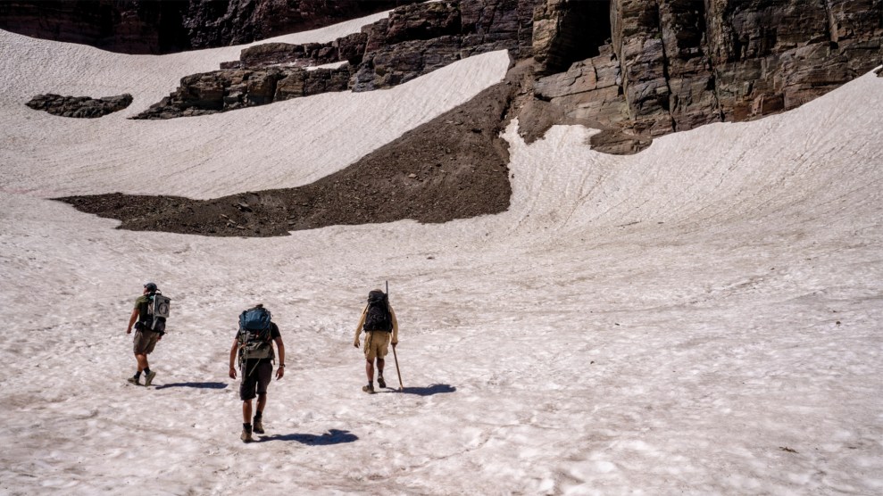
SWOT will be able to see lakes larger than 15 acres (or about 820 feet by 820 feet) and rivers wider than 330 feet across, Pavelsky said. That means it will survey millions of lakes and track some 1.3 million miles of rivers, many of them lacking on-the-ground data because they are not easily accessible by land. This data will come in handy for a range of applications, like mapping the need for water and its availability for crop irrigation in rural areas; measuring the extent of flooding, such as the recent deluge in Pakistan; and assessing the climate vulnerability of places like the Congo river basin, which is frequently exposed to flash floods and droughts.
The SUV-sized solar-powered spacecraft will collect much of this crucial data through its workhorse instrument, the Ka-band Radar Interferometer. Also known as KaRIn, the instrument sends a radar pulse of 1.5 kilowatts down to the ground and a few milliseconds later detects the reflected signal using two antennas at each end of a 33-foot boom. The slight difference between the signals allows it to triangulate to determine the height of water. With each such measurement, KaRIn images an area about 30 miles on a side with rectangular pixels about 16 by 80 feet. SWOT will orbit over each part of the planet and repeat its imaging there every 21 days during its three-year mission, seeing how the spread of water is changing over time.
In 2000, NASA flew radar antennas on the space shuttle Endeavour to map the topography of land, but that was only an 11-day mission. SWOT’s KaRIn will considerably improve on the concept. “This instrument will be able to measure the height of water with centimeter accuracy. To think we can improve accuracy by a factor of 100, and from a distance of almost 900 kilometers away from the surface, is kind of incredible,” says Daniel Esteban-Fernandez, a NASA Jet Propulsion Laboratory engineer who helped develop KaRIn.
SWOT could turn out to be a major improvement over measurements by previous satellites. “Instead of a ‘pencil beam’ moving along the Earth’s surface from a satellite, it’s a wide swath. It’ll provide a lot more information, a lot more spatial resolution, and hopefully better coverage up close to the coasts,” says Steve Nerem, a University of Colorado scientist who uses satellite data to study sea-level rise and is not involved with SWOT. And KaRIn’s swath-mapping technology is a brand-new technique, he says. “It’s never been tested from orbit before, so it’s kind of an experiment. We’re looking forward to the data.”
SWOT has other instruments in its toolkit too, including a radar altimeter to fill in the gaps between the swaths of data KaRIn collects, a microwave radiometer to measure the amount of water vapor between SWOT and the Earth’s surface, and an array of mirrors for laser-tracking measurements from the ground.
New satellite data is important because the future of sea-level rise, floods, and droughts may be worse than some experts previously forecast. “Within our satellite record, we’ve seen sea-level rise along US coastlines going up fast over the past three decades,” says Ben Hamlington, a sea-level rise scientist at JPL on the SWOT science team. The rate of sea-level rise is in fact accelerating, especially on the Gulf Coast and East Coast of the United States. “The trajectory we’re on is pointing us to the higher end of model projections,” he says, a point he made in a study last month in the journal Communications Earth & Environment.
Hamlington sees SWOT as a boon for mapping rising sea waters and for researchers studying ocean currents and eddies, which affect how much atmospheric heat and carbon oceans absorb. The satellite will also aid scientists who model storm surges—that is, when ocean water flows onto land.
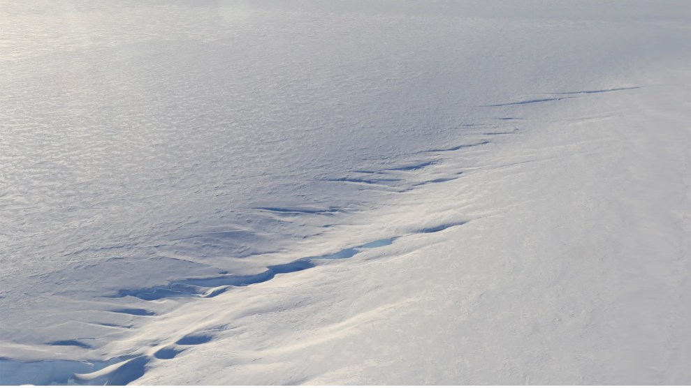
The new spacecraft’s data will have some synergy with many other Earth-observing satellites already in orbit. Those include NASA’s Grace-FO, which probes underground water via gravity fluctuations, NASA’s IceSat-2, which surveys ice sheets, glaciers, and sea ice, and commercial flood-mapping satellites that use synthetic aperture radar to see through clouds. It also follows other altimeter-equipped satellites, like the US-European Jason-3, the European Space Agency’s Sentinel-6 Michael Freilich satellite, China’s Haiyang satellites, and the Indian-French Saral spacecraft.
Data from these satellites has already shown that some degree of sea-level rise, extreme floods, storms, and droughts are already baked into our future. But we’re not doomed to climate catastrophes, Hamlington argues, because we can use this data to fend off the most extreme projected outcomes, like those that cause rapid glacier or ice sheet melt. “Reducing emissions takes some of the higher projections of sea-level rise off the table,” he says. “Since catastrophic ice sheet loss will only occur under very warm futures, if we can limit warming going forward, we can avoid worst-case scenarios.”