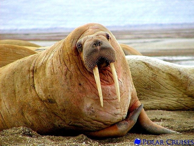
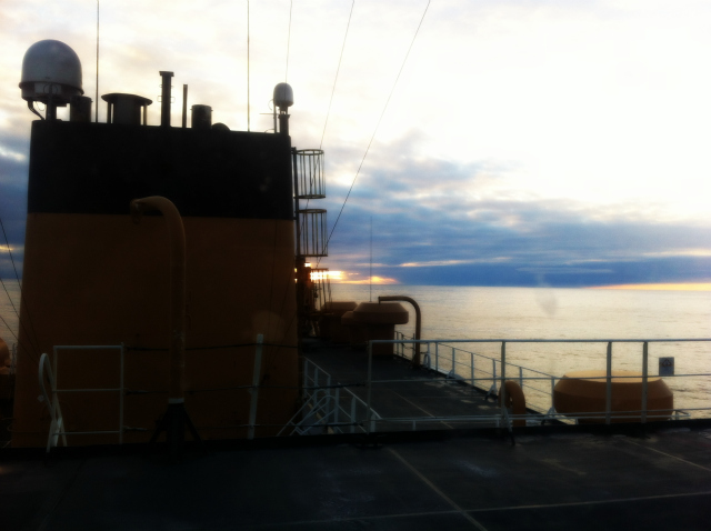
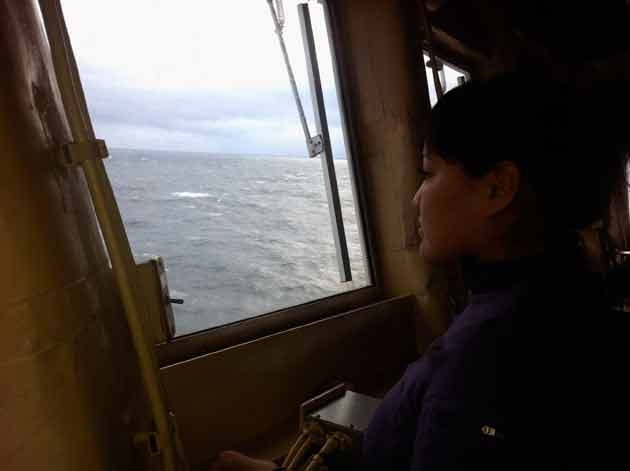
During my trip through the Arctic Ocean last month (Arctic Ocean Diaries) we saw a few walrus streaming south through the Chukchi Sea towards the Bering Strait. Winter was on their tails. Or at least soon would be.
There’s a lot of urgency just now to figure out exactly where Pacific walruses are feeding and traveling off Alaska. That’s because their world is changing so unbelievably fast.
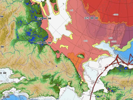
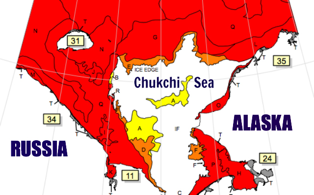 Sea ice extent in the Chukchi Sea as of 12-16 Nov 2012: National / Naval Ice Center
Sea ice—the mobile platforms where walruses haul-out to rest and give birth—is in rapid decline throughout the Arctic. This summer broke the record for lowest ice extent ever seen. There was little to none in the US Arctic—the Chukchi and Beaufort seas—for most of the summer and fall.
The map above shows how little ice is in the Chukchi even now, midway through November. Red, orange, and yellow mark sea ice extents of between four-tenths coverage and ten-tenths coverage. As you can see from the amount of white in the map, there’s still a whole lot of open water up there.
![]() Tracks of 40 tagged walrus in the Chukchi Sea during summer 2012. Star marks approximate position of Shell oil well: USGS Alaska Science Center
Tracks of 40 tagged walrus in the Chukchi Sea during summer 2012. Star marks approximate position of Shell oil well: USGS Alaska Science Center
As part of an ongoing effort towards an Endangered Species listing for Pacific walrus, researchers with the United States Geological Survey have been tagging walruses to see where they’re traveling and how they’re managing in the presence or absence of sea ice. From this will come a designation of critical habitat.
The map above shows the tracks of 40 walruses tagged this summer. You can start to see which areas are important to them. (For an animated track map that includes the dwindling sea ice margin go here.)
I added the black star on the map to show the approximate position of Shell’s well in the virgin seafloor of the Chukchi Sea, Burger Oil Field. (See my earlier post on Shell’s drilling efforts and errors.) Sadly, there look to be a lot of walruses using the dangerous waters around that well.
The video explains the USGS research efforts underway, with some gorgeous footage of walruses on ice and off.
